728x90
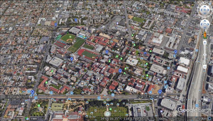
Creating location points. The picture shows USC and some buildings which are pointed.
1. Google Earth provides a simple UI to do this.

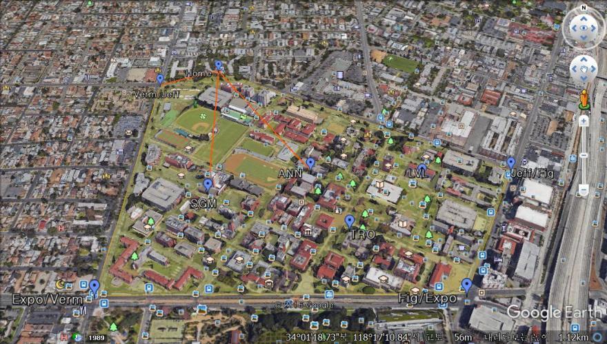
2. From the points, create a convex hull by using a postGres+postGIS that provides several useful functions.

3. Generate lines indicating three closest points from home.

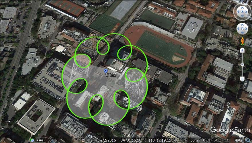
Extra: drowing a shape with a formula.

728x90
'Portfolio > 2017' 카테고리의 다른 글
| [C++] Roller coaster simulation (0) | 2022.06.22 |
|---|---|
| [C++] Height map visualization (1) | 2022.06.22 |
| [C++] Ray tracing + Super sampling (0) | 2022.06.22 |
